 • Environmental forestry and agricultural planning
• Renaturalisation and environmental enhancement projects
• Surveys in the field of vegetation, soil and fauna
• Environmental impact studies and incidence assessments
• Structure and infrastructure engineering
• Building rehabilitation
• Water supply and pipe network
• Drinking and waste water treatment
• Rural development and irrigation
• Water, Sanitation and Hygiene;
• Health and Safety engineering;
• Emergency engineering and disaster risk reduction;
• Geological and Hydrogeological surveys and data analysis
• Seismic surveys and classification
• Geological scope and spatial planning including the realization of thematic cartographies with GIS software to support urban planning and specific studies of seismic microzonation. In particular, support studies are carried out on structural plans, urban planning regulations and in general the P.R.G. Municipalities, variants of urban planning tools and urban planning and implementation plans (recovery plans, allotments etc).
We realize:
• Research of aquifer tanks by electromagnetic surveys with Poseidon and seismic systems with reflection and refraction.
• Geo-environmental studies for the use of biological sludge deriving from: purification processes in agriculture
• Specific studies on the territory for the use of compost, wastewater in agriculture
• Specific studies for the realization of phyto-depuration plants.
• Attitudinal soil studies for the various crops (herbaceous and arboreal)
• Study of the use of soil for culture planning and conversion
• Drafting of maps for the use of soil
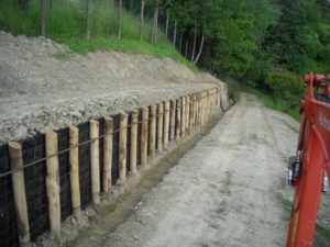
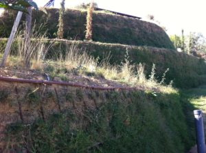
• Studies for the evaluation of the risk of erosion in the substratum and for Dissipation and landslides with preliminary, executive and definitive design for the recovery of dissed areas
• Study of irrigable areas with soil-related water balances: timing and modes of watering, evaluation of irrigation water: data processing On specific software in the GIS environment for evaluation and optimization of water resources in agriculture
• Geomorphologic and pedological studies for the environmental recovery of degraded areas (quarries, dumps, etc.)
• Specific studies for remediation and recovery plans on contaminated areas
• Soil surveys as a function of the safeguard of water layers
• Geo-pedological, microclimatic and soil hydrology studies
• Didactic for schools and specialization courses and updating on agronomic environmental geological issues Hydraulic.